Looking for design inspiration?   Browse our curated collections!

Previous Image

|

Next Image
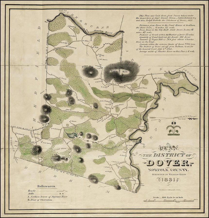
Massachusetts Map Photograph - Dover Massachusetts Historical Map 1831 by Carol Japp

Dover Massachusetts Historical Map 1831 is a photograph by Carol Japp which was uploaded on August 14th, 2021.

More from Carol Japp

View Profile

Antique Geological Map of Essex County Massachusetts 1893 by Carol Japp
Vintage Map of Cape Cod and Vicinity Warm Sepia  by Carol Japp
Historic Map Cambridge and Somerville Massachusetts 1892 by Carol Japp
Historical Map City of Cambridge Massachusetts 1903 Black and White by Carol Japp
Vintage Map Rhode Island 1822 by Carol Japp
Sandwich Village Massachusetts Vintage Map Birds Eye View 1884 Sepia by Carol Japp
Magnolia Gloucester Massachusetts Birds Eye View Vintage Map 1887 by Carol Japp
Scituate Massachusetts Vintage Map 1831 by Carol Japp
Historic Map of the City of Salem Massachusetts 1851 by Carol Japp
Historical Map City of Cambridge Massachusetts 1903 by Carol Japp
Historic Map Cambridge and Somerville Massachusetts 1892 Sepia  by Carol Japp
Newburyport Massachusetts Vintage Map 1851 by Carol Japp
Jamaica Plain Massachusetts Vintage Map Birds Eye View 1891 by Carol Japp
Vintage Map Nantucket Including Tuckernuck 1838 by Carol Japp
Vintage Map Newburyport Massachusetts 1880 by Carol Japp
Martha's Vineyard Vintage Map in Black and White  by Carol Japp
Edgartown Marthas Vineyard Massachusetts Vintage Map Birds Eye View 1886 Sepia  by Carol Japp
Wollaston Massachusetts Antique Map Birds Eye View 1890 Sepia  by Carol Japp
Plymouth Town Massachusetts Vintage Map 1891 Cool Blue by Carol Japp
City of Gloucester Massachusetts Vintage Map 1873 Sepia  by Carol Japp

Comments

There are no comments for Dover Massachusetts Historical Map 1831.   Click here to post the first comment.

Recently Viewed

Dover Massachusetts Historical Map 1831 by Carol Japp
Previous Image Next Image